Del Norte
Type of Area
Town
State
CO
Address
Timezone
MST
Elevation
7,884 ft (2,403 m)
Population (Est.)
1,384 according to world population review
Nickname
Was known as "Rowdy, ragtag supply town for miners"
Key Features
Elevation
7,884 ft (2,403 m)
Population (Est.)
1,384 according to world population review
Nickname
Was known as "Rowdy, ragtag supply town for miners"
Best Seasons to Visit
June to August when the weather is warm. Fall is also a great for cooler temperatures and beautiful fall colors.
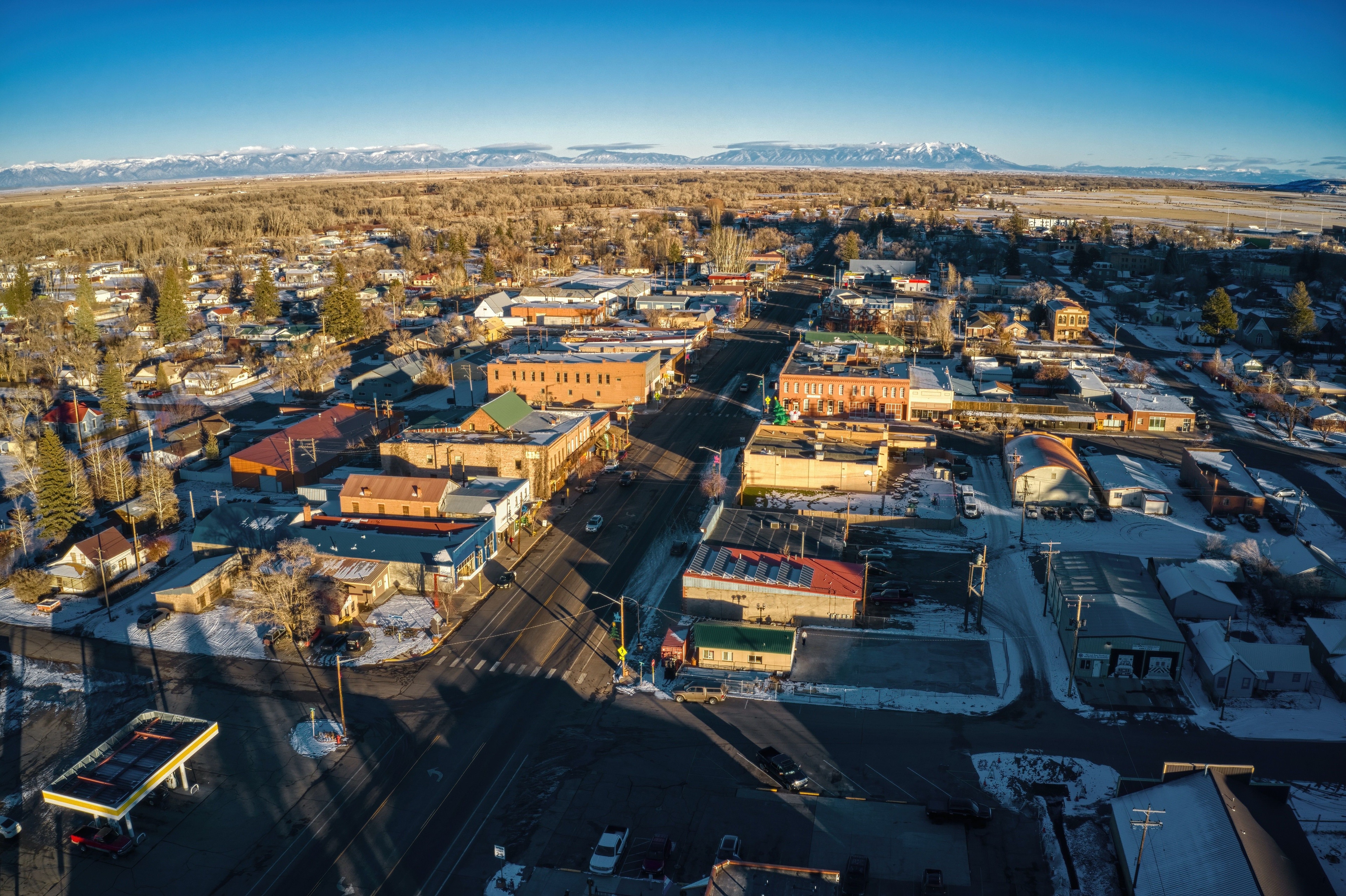
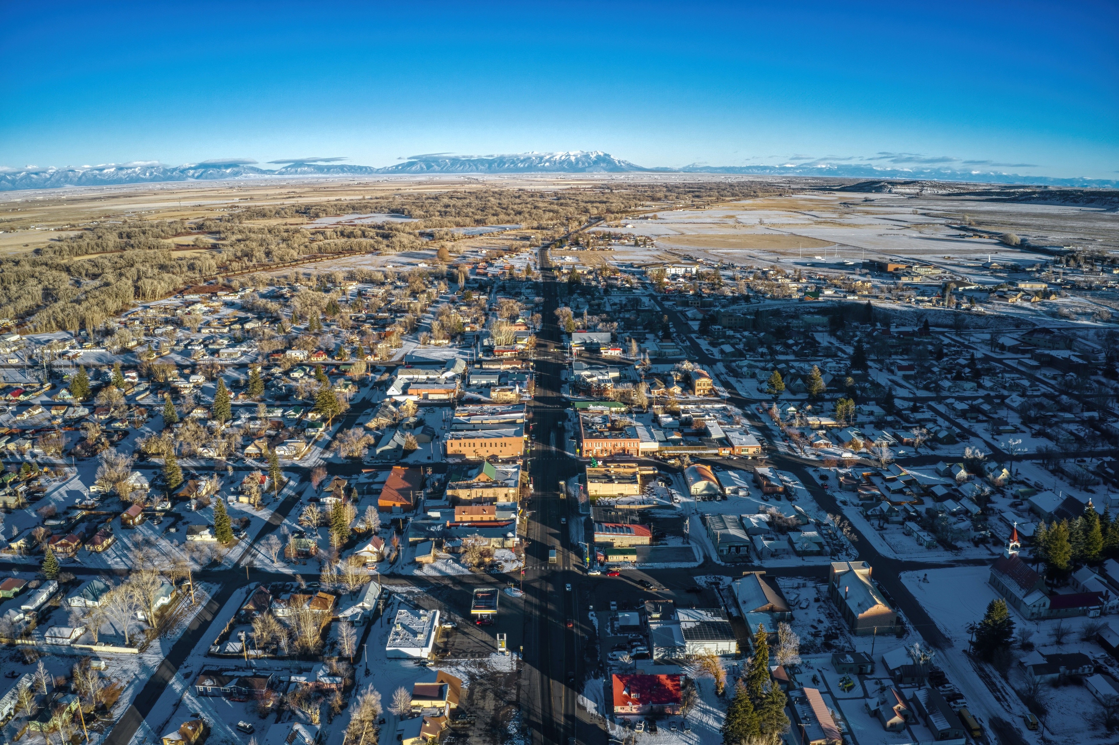
Overview
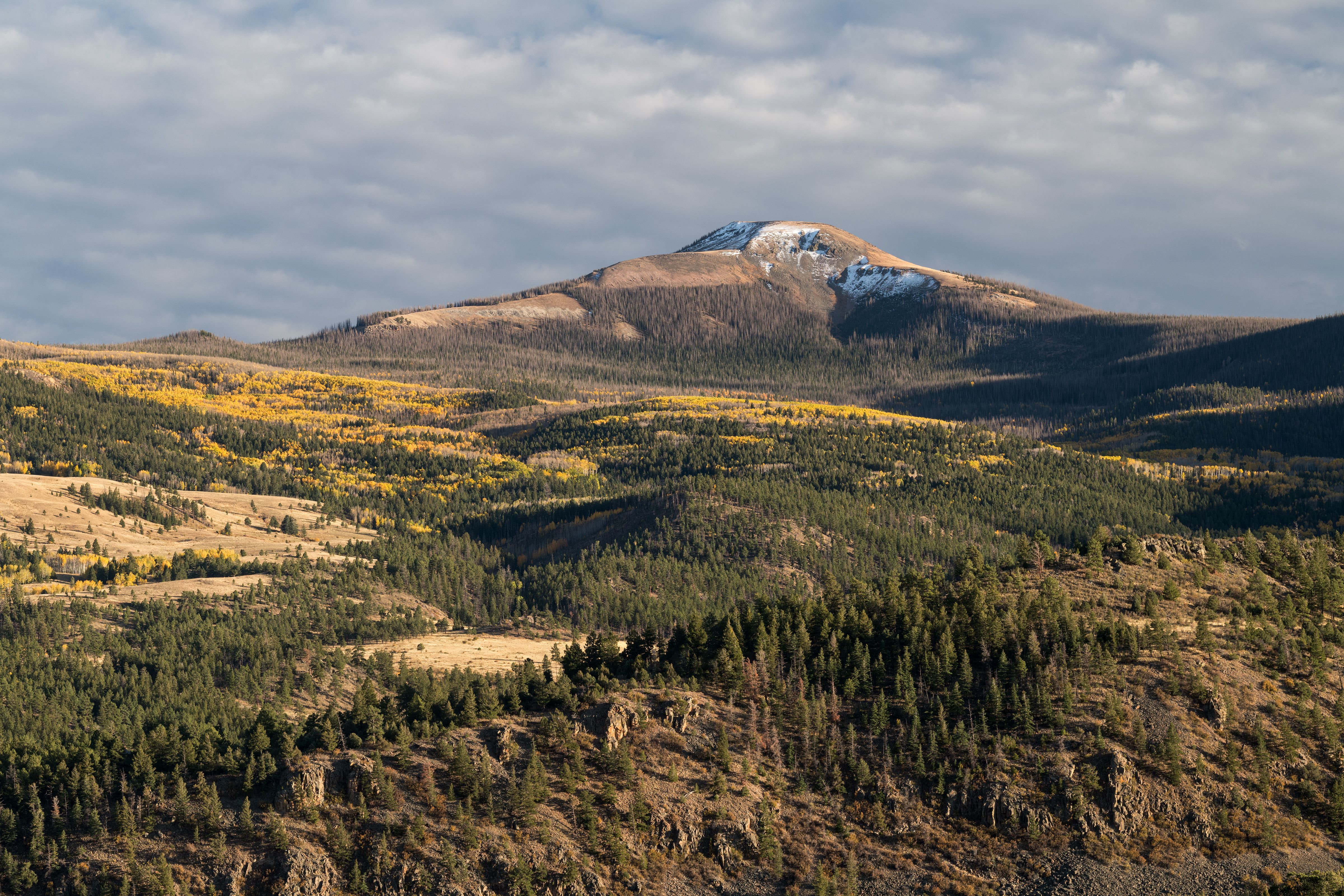
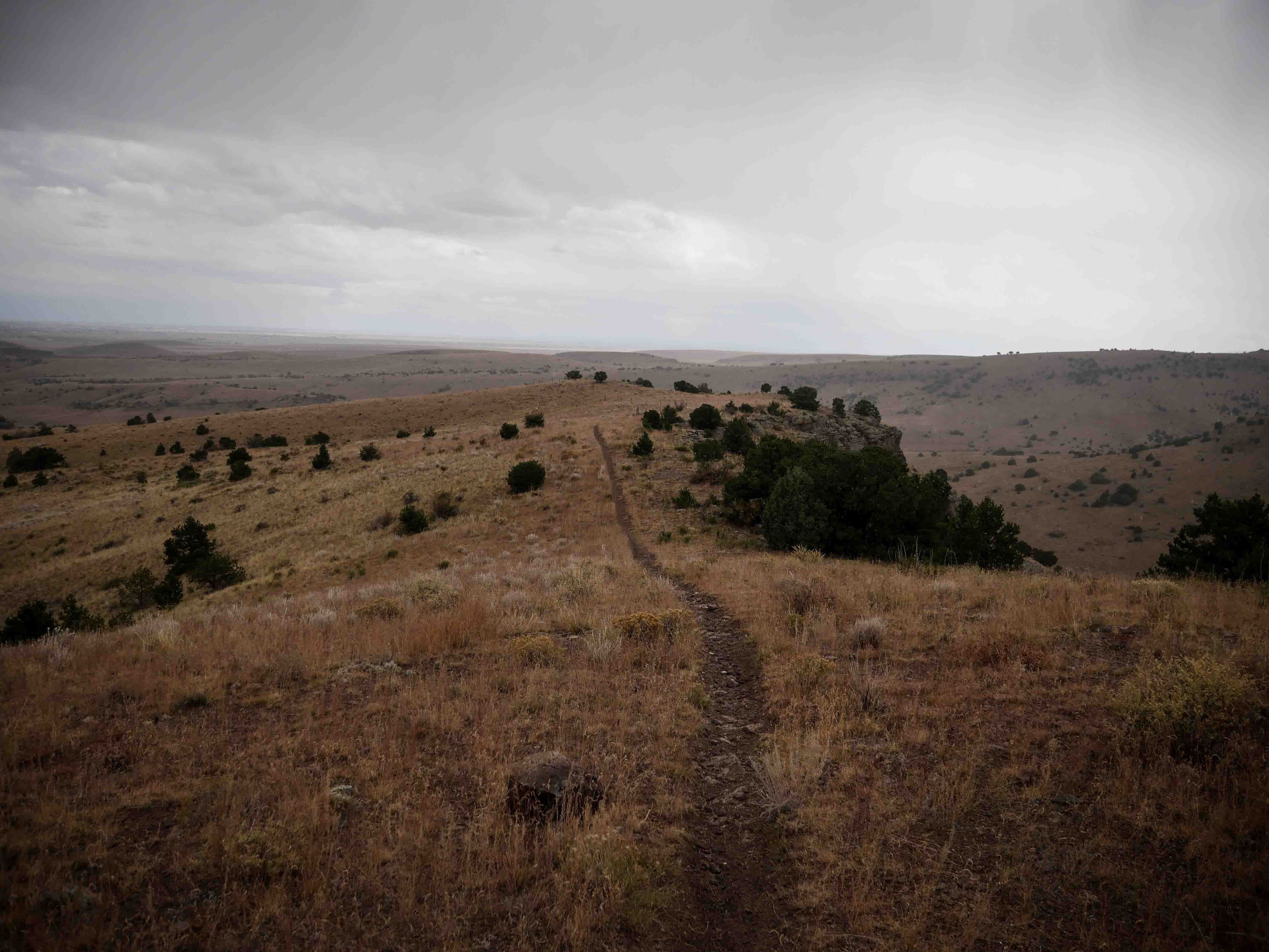
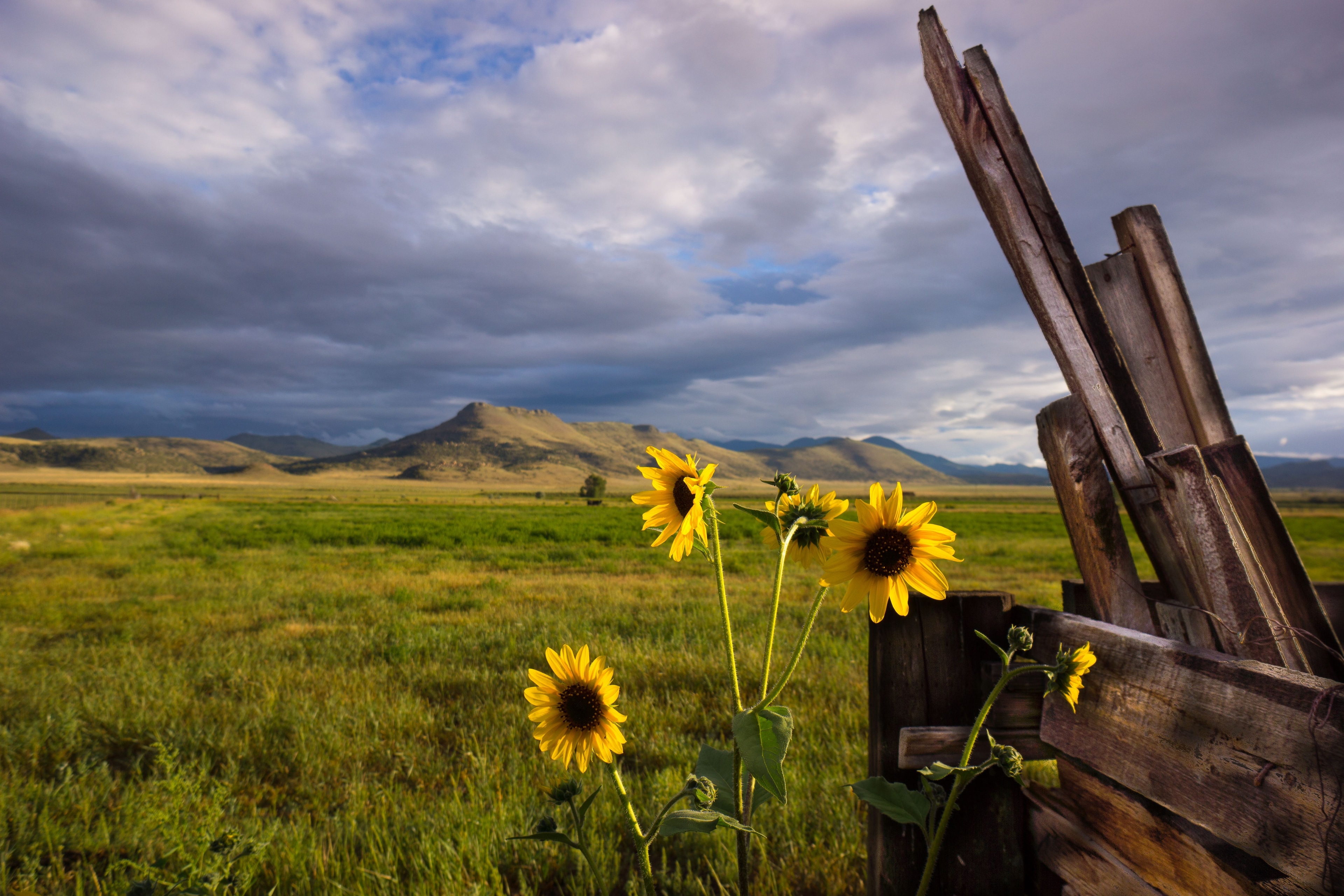
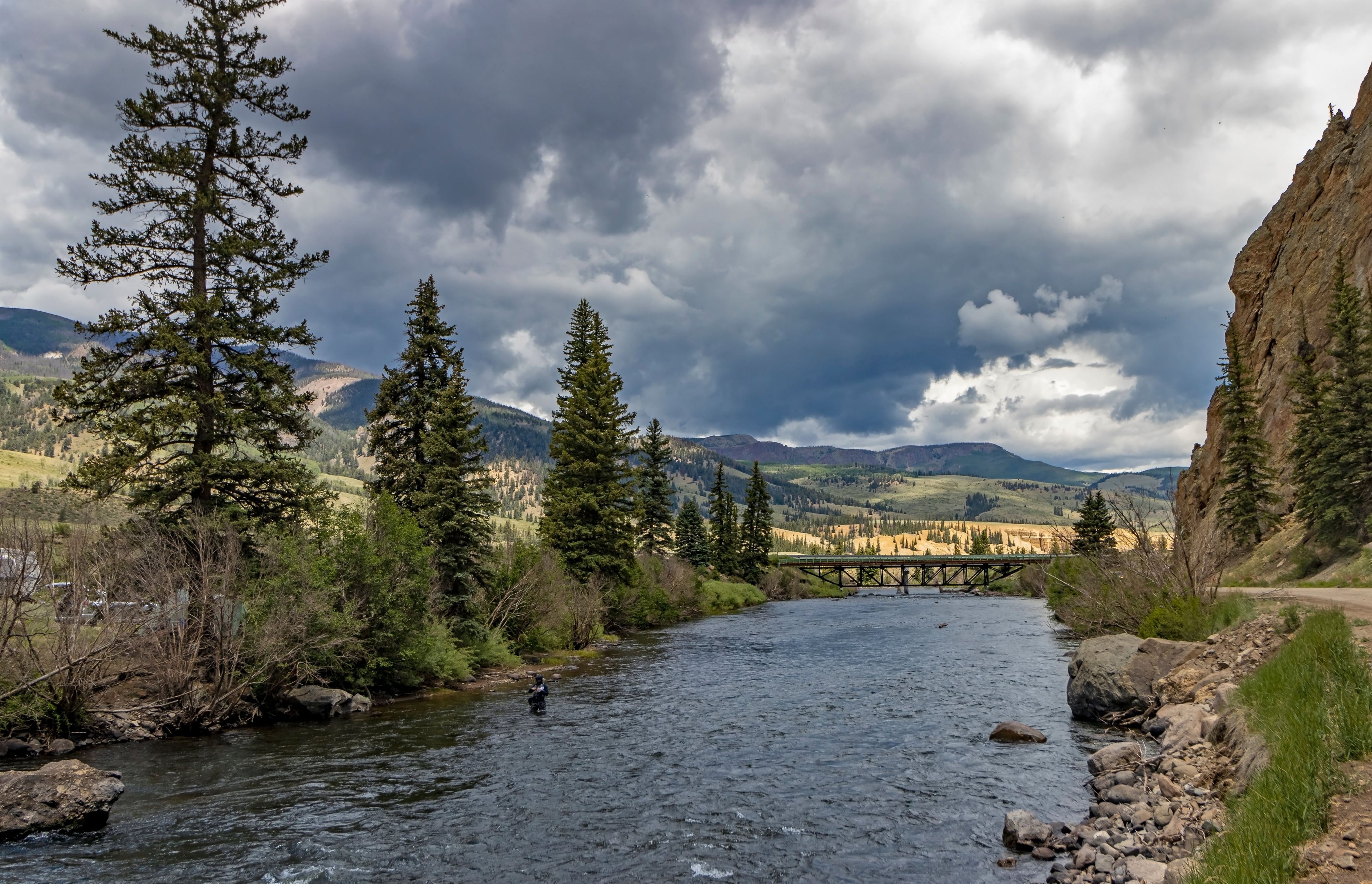
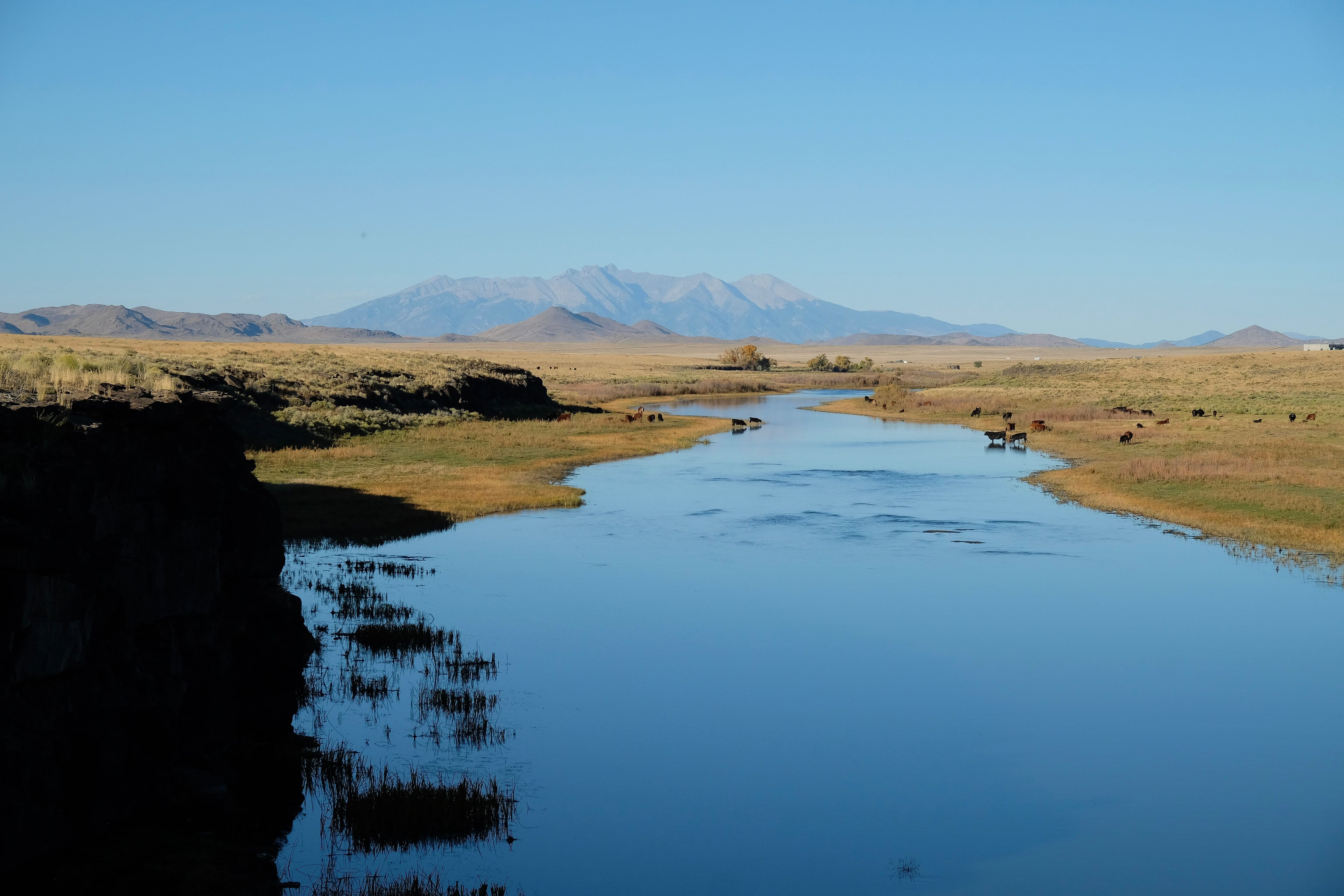
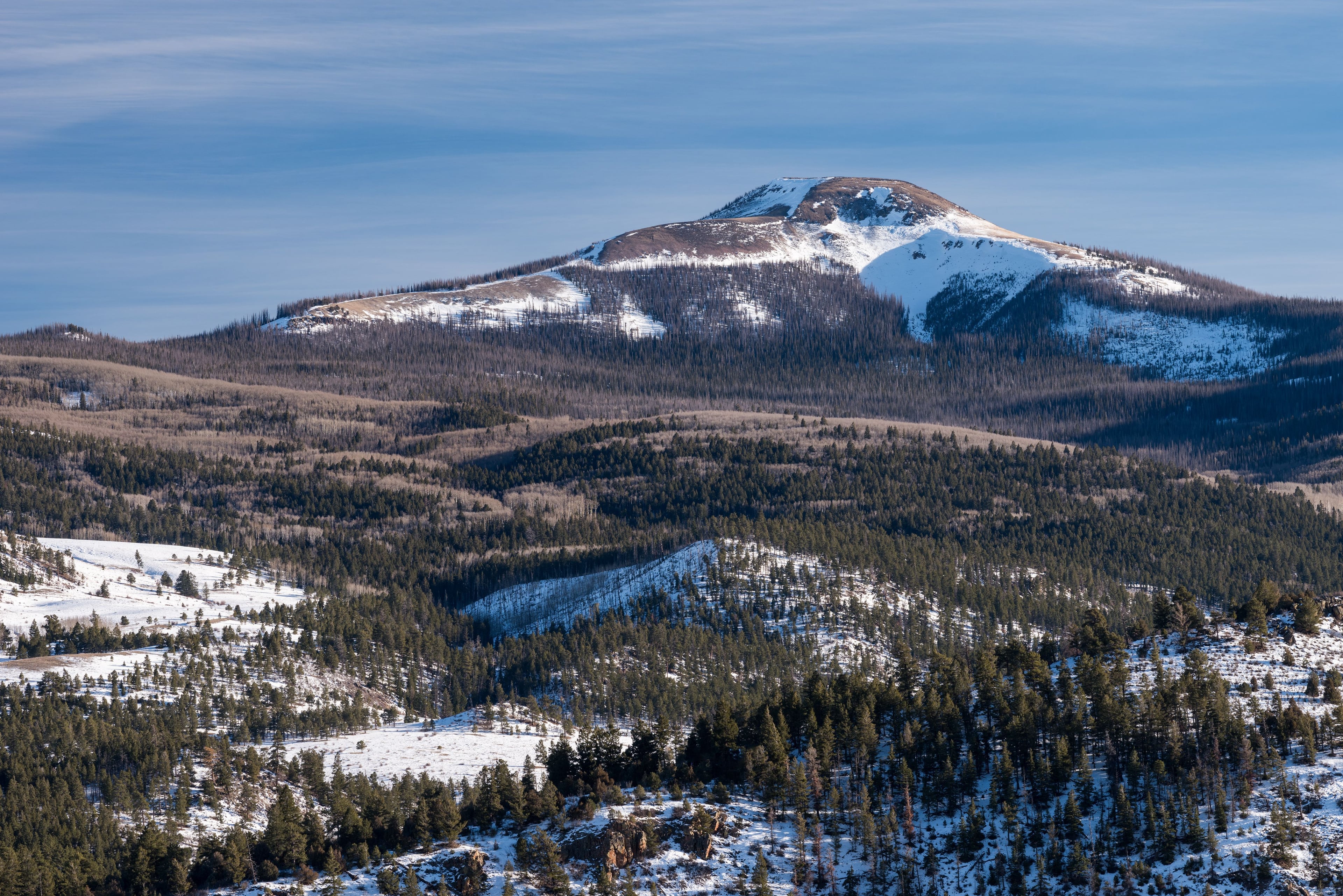
At 7,884-foot Del Norte on Hwy 160, you base in a 1,384-person town ringed by 3,778 acres of public land, reel trophy trout on Gold Medal Rio Grande water, ride vast Jeep, snowmobile, and bike trails, watch 25,000 sandhill cranes, and day-trip to dunes, ski Wolf Creek, and volcanic wonders.
Getting Around
Getting Around
Del Norte lies on U.S. Highway 160, the east-west spine of the San Luis Valley, two blocks north of U.S. 285 (north-south). The historic downtown core is six blocks long and level, easy to explore on foot or by cruiser bike. There is no municipal transit; locals rely on cars or regional shuttles.
History & Culture
History & Culture
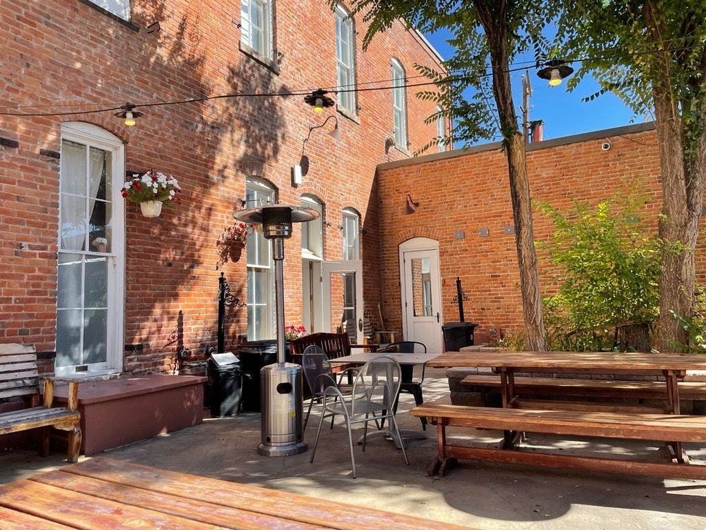
Surveyors mapped Del Norte in 1871, gold boomed in 1873, and today you stroll Grande Avenue’s frontier facades, cast for trophy trout on the Rio Grande, ride bike and Jeep trails into San Juan peaks, and feel the blend of Native, Hispanic, and European roots that still shape this high valley.
Local Tips
Local Tips
High-altitude river town at 7,884 ft come prepared for sun, wind, and quick weather shifts.