Frisco
Getting Around
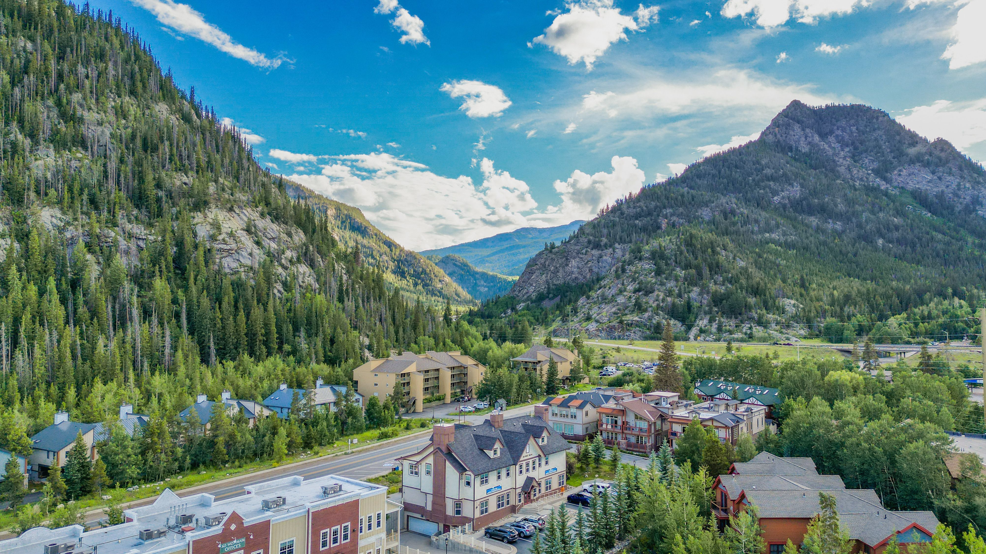
Main Street sits just a half mile south of I-70 Exit 203, stays pedestrian-friendly all year, and most lodges sit within a ten-minute walk of restaurants and gear shops, so strolling feels natural.
Getting here via flight is easy; there's Denver International Airport to the east and Eagle County Regional Airport to the west near Vail. Reserve a shuttle, ride share, or rental car when you book your ticket because vehicles go fast, and winter trips demand preparation; Colorado’s chain laws call for four-wheel drive, all-wheel drive, or true snow tires when storms roll in. Leave extra time for traffic, changing weather, and mountain road work, and you’ll arrive in Frisco ready to explore without a hitch.
Public Transportation
You can leave your car parked in Frisco because the Summit Stage’s free, frequent buses roll from the Transit Center to Breckenridge, Copper Mountain, Keystone, Dillon, and Silverthorne, putting lifts, shops, and medical stops within easy reach.
Walkability & Bike Friendliness
With a small footprint (~1.8 mi²), Main Street and nearby attractions like Historic Park & Museum and the marina are easily reached on foot.
Part of the Summit County Recreational Pathway “Recpath,” Frisco boasts 12 miles of in-town paved trails and access to over 55 miles of multi-use paths connecting to Dillon, Breckenridge, Keystone, and Copper Mountain.
Frisco is actively enhancing its winter walk and bike network, including plowing multi-use paths and grooming the Recpath between Frisco and Breckenridge for year-round access.