Grand Mesa National Forest
Seasonal Access & Weather
Seasonal Access
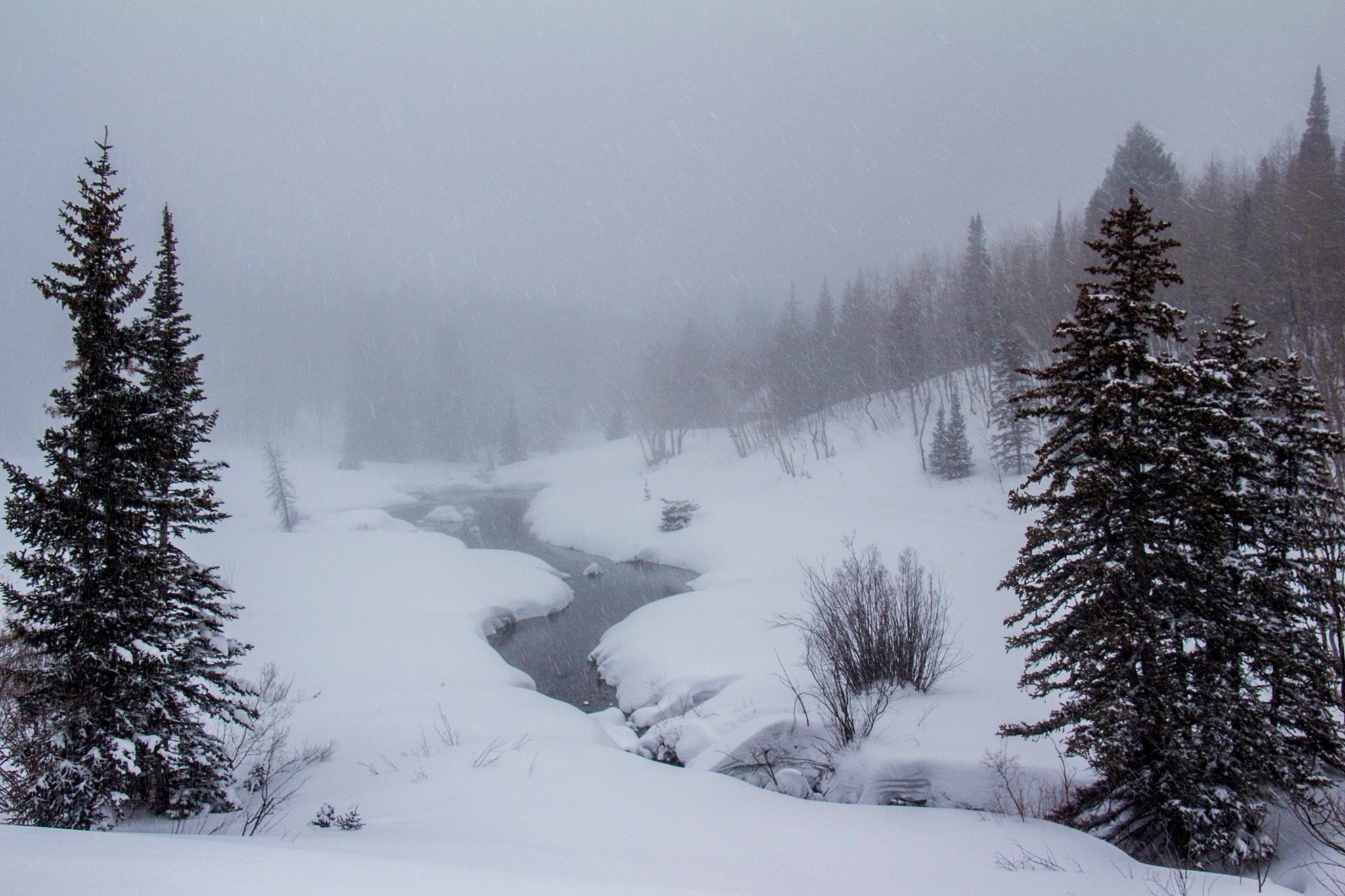
Perched around 10,000–11,000 feet, Grand Mesa delivers classic “high country” seasons, and access changes that follow the weather. The Grand Mesa Scenic & Historic Byway (Hwy 65) is a paved state highway that climbs from canyon country to the top of the mesa, with panoramic pullouts and overlooks along the way. It’s the backbone for year-round sightseeing, but winter storms can temporarily affect travel, so always verify conditions before heading out.
Beyond the byway, many forest roads and gates operate on seasonal schedules tied to snowmelt, muddy spring conditions, and resource protection. Each year, the forest announces spring gate closures as roads soften; these closures reduce damage and protect wildlife until routes dry out. Travelers using motorized routes should consult the Motor Vehicle Use Map (MVUM) for the official list of roads and trails open to motorized travel and their seasonal opening/closing dates.
Snow can linger well into late spring on this high plateau, and some winters bring above-average snowpack, delaying openings at elevation. When in doubt, check the forest’s Current Conditions page or call a ranger district for real-time updates.
Planning stops and services is easier in summer: the Grand Mesa Visitor Center (near Cedaredge) operates daily from Memorial Day weekend through the last Sunday in September and is your seasonal hub for maps, passes, and trip advice. Outside those dates, use district offices and the online conditions pages for status and closures.
Weather Considerations
At this elevation, weather changes fast. The forest emphasizes that storms can build quickly, even in summer, and you should be prepared for rain, hail, biting wind, or snow any time of year. Summer days often see afternoon thunderstorms; start early, keep an eye on the sky, and carry layers.
Winter hazards extend beyond cold and snow-covered roads. Where there’s snow on slopes, avalanche danger is possible. If your plans include snow travel in steeper terrain (or below it), review the forest’s avalanche guidance and regional forecasts before you go.
Wildfire risk varies with weather and season. The forest posts alerts, fire danger status, and any fire restrictions, including seasonal Stage 1 fire prohibitions when conditions warrant. Before you spark a campfire or use camp stoves in dry periods, check the latest restrictions and follow on-site signage.