Grand Mesa National Forest
History & Culture
Park History
Long before scenic byways and lakeside campfires, this high plateau drew people to its water, timber, and sweeping vantage. In the federal conservation era, the landscape entered a new chapter on December 24, 1892, when it became the Battlement Mesa Forest Reserve, among the nation’s earliest forest reserves. By 1905, federal forests shifted to the newly formed U.S. Forest Service, and administrative changes over the next decades ultimately placed these lands within Grand Mesa National Forest.
Mid-century brought the management structure travelers know today: Grand Mesa and Uncompahgre National Forests were joined in 1954, and Gunnison National Forest was added in 1973, creating the three-forest unit administered together as the Grand Mesa, Uncompahgre & Gunnison (GMUG) National Forests, over three million acres spanning canyons, plateaus, and high peaks.
Stewardship continues to evolve. In June 2024, the Forest Service released a revised land management plan to guide recreation, habitat, and watershed care across the GMUG for years to come, complemented by ongoing trail and infrastructure work across thousands of miles of routes.
Cultural Significance
Grand Mesa rises from the ancestral homelands of Ute peoples, whose cultural presence spans the Colorado high country and remains intertwined with the forests managed today. Tribal heritage, from traditional use areas to sacred objects, forms part of the cultural fabric documented across the GMUG. Visitors experience this living history on a landscape where Indigenous connections, ranching legacies, and early conservation all meet.
Notable Events & Stories
- From Forest Reserve to Today: The designation of the Battlement Mesa Forest Reserve (1892) set the stage for a conservation continuum that now encompasses Grand Mesa National Forest’s 300-plus-lake summit and the broader GMUG unit. The administrative unification of 1954 and 1973 streamlined management across diverse terrain, from the flat-topped mesa to rugged San Juan spires, while retaining local ranger presence.
- A Living Plan for a Vast Landscape: With over 3,000–3,500 miles of trails and routes and elevations ranging from foothills to 14,000-foot peaks across GMUG, the forests undertake phased improvements and planning updates to keep experiences safe, scenic, and sustainable. The 2024 revised plan and Great American Outdoors Act projects are recent milestones visitors benefit from on the ground.
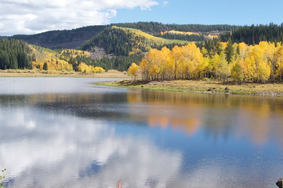
- Water, Rim, and the “World’s Largest Flat-Topped Mountain”: The mesa’s signature identity, a broad volcanic-capped summit with more than 300 lakes, is more than a pretty face; it’s the reason anglers, hikers, and sightseers have gravitated here for generations, and why the forest remains a touchstone of Western Slope outdoor culture.