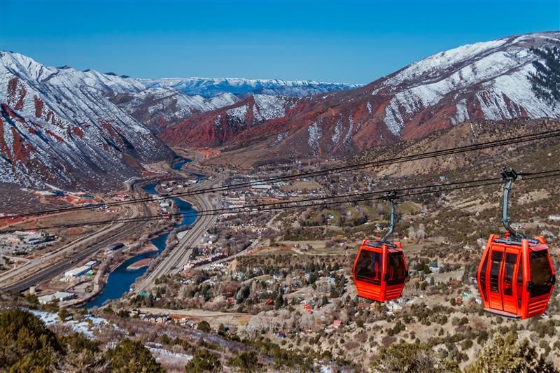
Glenwood Springs
Getting Around
The interstate follows the river through a narrow canyon to reach town, with dramatic scenery and occasional weather-related slowdowns in stormy periods. A primary state highway connects Glenwood Springs up the valley to neighboring communities and ski areas. Downtown streets are on a simple grid with clear wayfinding and a central bridge linking north and south banks.
Public parking is signed around the core and near river parks, and traffic is generally moderate outside peak holiday and leaf-peeping periods. Cyclists will find that paved greenways tie into local streets, while drivers can branch out to scenic byways and mountain passes when the season allows. Winter travel can bring packed snow and icy patches on shaded canyon stretches, so allow extra time and check road status before setting out.
Public Transportation
The Roaring Fork Transportation Authority, also known as RFTA, provides public transit services that connect Glenwood Springs to the surrounding communities. RFTA’s bus rapid transit service, VelociRFTA, runs along the 42 mile SH 82 corridor, offering commuter service between Glenwood Springs and Aspen. The Grand Hogback Route provides commuter service between Glenwood Springs and Rifle. There is also a no-fare service between Aspen and Snowmass Village. All RFTA buses are equipped with bike racks in the summer, making it easy to combine a bus ride with a bike trip. The bus service is a convenient and cost-effective way for visitors to explore the Roaring Fork Valley without a car.
Walkability & Bike Friendliness
Glenwood Springs is a very bike-friendly community and has been designated a Silver Level Bicycle Friendly Community by the League of American Bicyclists. The town has an extensive trail system that allows people to get around by walking or biking. A standout feature is the Rio Grande Trail, a 44 mile multi-use trail that connects Glenwood Springs to Aspen. The Glenwood Canyon Recreation Path is another popular paved trail that runs for over 16 miles alongside the Colorado River. The downtown area is very walkable, with shops, restaurants, and attractions located close to each other. The city provides a bike route map and a bike rack finder to help visitors and locals navigate the area and find safe places to park their bikes.