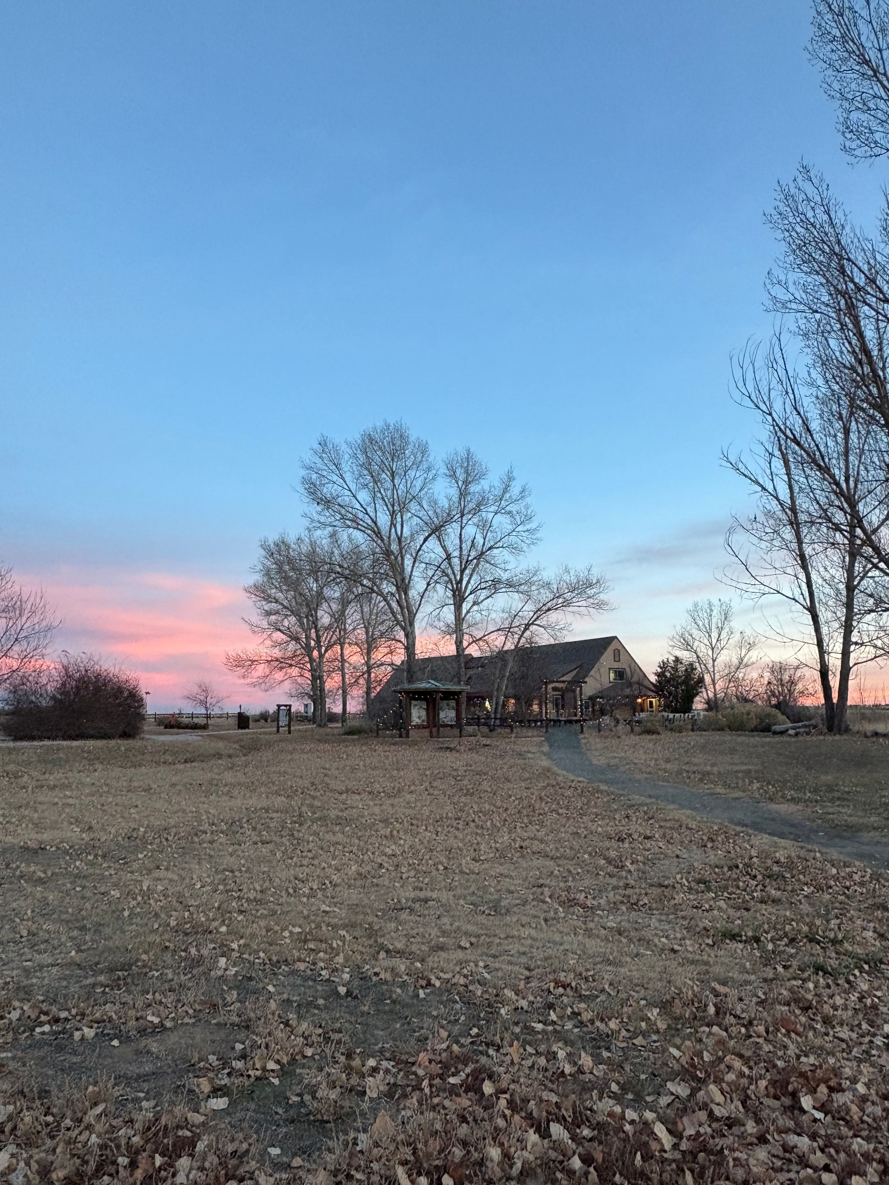
Barr Lake State Park
History & Culture
Park History
Long before trails circled the shoreline, the basin that would become Barr Lake formed a natural depression on the plains east of the Front Range. Seasonal water pooled here and drew wildlife in great numbers. Bison rolled in the damp earth and created a broad wallow, wolves followed the herds, and elk grazed the surrounding grasslands. The place later took the name Barr in honor of a railroad civil engineer, a nod to the transportation corridor that would reshape this pocket of prairie.
In the 1860s cowboys began pushing Spanish cattle north across the plains. The wallow served as a dependable pause along a famous trail that linked Texas and Wyoming, turning the oasis into a waypoint for people as well as animals. Rail soon accelerated change. In 1883 the Chicago, Burlington and Quincy line tied Denver to the Midwest and ran past the basin, inviting settlers to look east and imagine farms and towns if water could be captured and spread.
Irrigation made that vision real. In 1886 crews dug the Burlington Canal to pull water from the South Platte into the old wallow and impound it as Oasis Reservoir. Moist soils on the margins sprouted cottonwoods and willows, and sheltered wetlands began to form. In 1908 the Farmers Reservoir and Irrigation Company raised the Oasis dam and joined Oasis with the neighboring Burlington impoundment, creating the larger lake known today as Barr. With steady water, sugar beet fields took off and local growers boasted that irrigated crops brought riches to the plains.
The next chapter came with cleaner water and public recreation. After decades of contamination from untreated wastewater upstream, mid 1960s legislation and a powerful regional flood scoured and refreshed inflows. In 1975 Colorado Parks and Wildlife secured a recreational lease, and in 1977 Barr Lake State Park opened. What began as a bison wallow grew into a working reservoir and then into a beloved Front Range park where birds, anglers, and families now share the shore.
Cultural Significance
For generations before rail and reservoirs, this prairie wetland supported a seasonal round of life that connected wildlife and people. The dependable water and rich mixed grass prairie drew Arapaho, Cheyenne, and Ute communities at different times of year to hunt, gather food, and follow migrating game. The landscape’s open views, shallow bays, and sheltering trees offered what travelers needed in a dry country: water, shade, and game.
Later, cattle drives and freight moved through the same corridor, layering ranching culture onto older pathways. Rail engineers, canal builders, and ditch riders added another thread, shaping a plains community built around irrigation and harvest. Today the park’s cottonwood groves, wetlands, and trails offer a living classroom where visitors can reflect on those overlapping stories, acknowledge Indigenous ties to the land, and recognize how water management continues to define life along the South Platte.
Notable Events & Stories
-
In the cattle drive era of the 1860s, drovers and Spanish steers used the basin as an essential rest stop on the long push between southern and northern ranges. In 1883 the new rail link between Denver and Chicago ran just to the west, transforming access to the plains and setting the stage for settlement.
-
In 1886 the Burlington Canal began diverting river water into the basin and created Oasis Reservoir, and a young cottonwood forest quickly took hold along the shore. In 1908 a larger dam united Oasis with the nearby Burlington impoundment to form Barr Lake, fueling an agricultural boom that turned sugar beets into the local cash crop. In 1964 and 1965 stronger clean water rules and a major flood improved conditions for fish and birds.
-
In 1975 Colorado Parks and Wildlife signed a recreational lease, and in 1977 the gates opened to the public, ushering in the park era that continues today with wetlands teeming with waterfowl, raptors riding thermals over the trees, and visitors circling the water under wide Colorado skies.