Alamosa
Getting Around
You’ll reach Alamosa with ease thanks to daily Denver Air Connection flights that link Denver International Airport to the San Luis Valley Regional Airport only seven minutes from downtown, and once you land you can pick up a vehicle from Quest Car Rentals at the terminal (719) 888-5282 or reserve a ride through Alamosa Car Rentals on the Turo app (719) 937-3400.
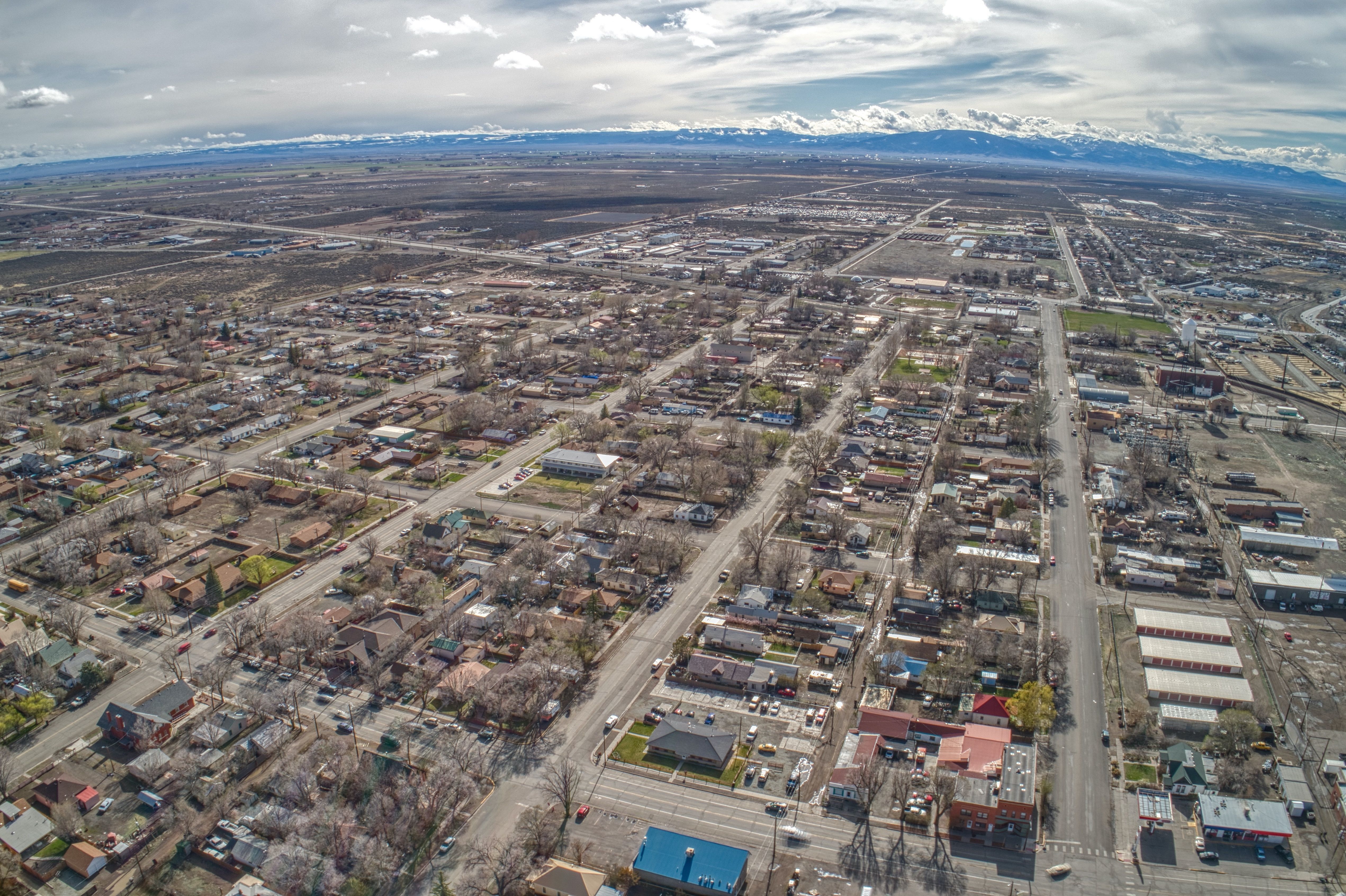
Cost-friendly Bustang coaches operated by the Colorado Department of Transportation roll in and out of town every day, Valleybound Transit buses cover local routes, and the Uber app works here even if pickups sometimes take a little longer than in big cities. The historic core spans about six flat blocks laid out on a classic railroad-era grid, so you can easily explore shops and cafés on foot, yet a car remains the quickest way to hit trailheads, wildlife refuges, and Great Sand Dunes National Park roughly thirty-five minutes away.
Alamosa sits at the junction of U.S. Highways 160 and 285, and every paved approach to the San Luis Valley but one climbs a high mountain pass, so you’ll drive two-lane highways, narrow country roads, and scenic mountain stretches that stay well maintained year-round though construction zones can appear in any season. If you’re after a different kind of journey, the Cumbres & Toltec Scenic Railroad offers a classic steam-train ride with sweeping mountain views that turns simple travel into part of the adventure.
Public Transportation
1. Bustang (Colorado Department of Transportation)
-
Service Type: Intercity express bus and Outrider service.
-
Routes: Alamosa is served by the Alamosa–Pueblo Outrider route, offering daily year-round service connecting Alamosa with several stops en route to Pueblo—and onward to wider destinations within Colorado
- Mountain Valley Transit
- Service Area: Local public transit that connects Alamosa with surrounding communities including Antonito, Romeo, Manassa, La Jara, Creede, South Fork, Del Norte, Monte Vista, Saguache, and KV Estates
Walkability & Bike Friendliness
- Alamosa scores a 54 out of 100 on Walk Score, classifying it as “Somewhat Walkable.” This means that while you can walk to accomplish some errands, many daily tasks likely require a car or alternate mode of transport.
- According to Walk Score, Alamosa has a Bike Score of 62, meaning it's “Bikeable”, but with only “some bike infrastructure.”
- On‑road routes such as the "Alamosa to Oasis" (starting at Cole Park) are popular: they're paved, generally have good shoulders (especially along US‑160), but caution is advised on more narrow stretches like Highway 150.